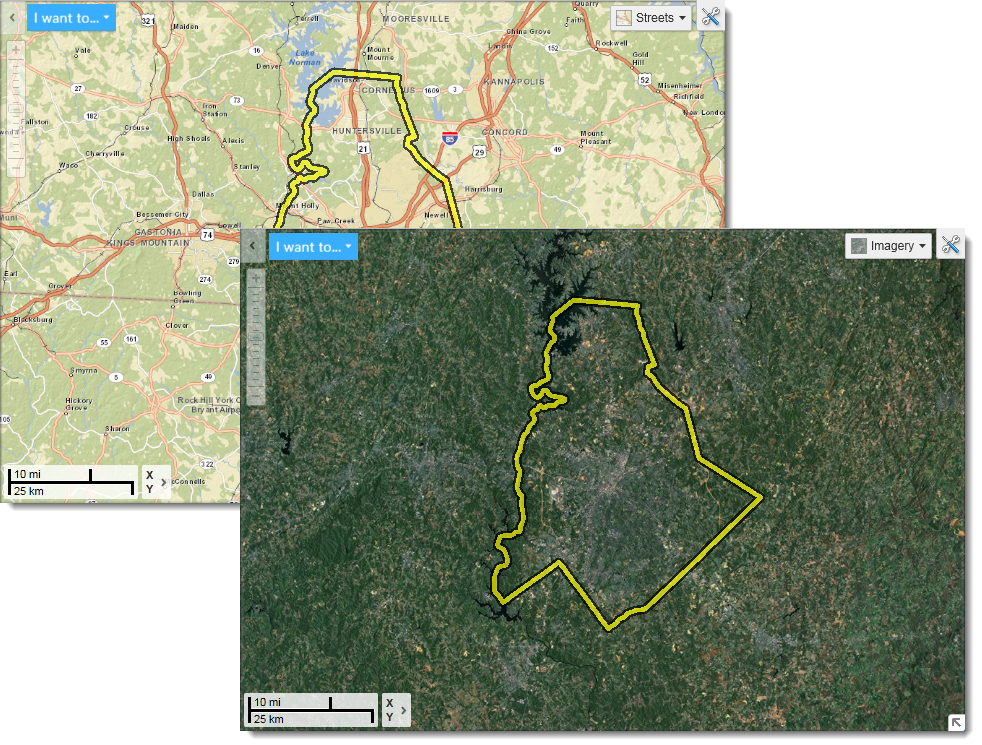
A basemap is a layer with geographic information that serves as a background. A basemap provides context for additional layers that are overlaid on top of the basemap. Basemaps usually provide location references for features that do not change often, such as boundaries, rivers, lakes, roads, and highways. Even on basemaps, these different categories of information are in layers. Usually a basemap contains this basic data, and then extra layers with a particular theme, or from a particular discipline , that are overlaid on the basemap layers to allow for analysis.
For example, if you wanted to show all the different types of endangered plants within a region, you would use a basemap showing roads, provincial and state boundaries, waterways and elevation. Onto this basemap, you could add layers that show the location of different categories of endangered plants. One added layer could be trees, another layer could be mosses and lichens, another layer could be grasses.
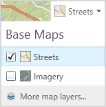
In the top right corner of the Viewer map, there is a basemap control allows you to choose between at least two basemaps:
The Basemaps or Layer Themes drop-down list
Streets and Imagery Basemaps
Some basemaps look like Vector Layers but are actually tiled Raster layers. Tiled images are used because they display faster and deliver a good combination of layers for providing context and orientation. If your basemap has raster layers, you cannot turn the layers off and on.
See also...